Forecast Africa› Western Africa›Ghana

FORECAST GHANA
The dry gap on a wet coast
Conditions right now
Accra
Reading…
11 places
The country
EQUIRECTANGULAR, FITTED TO ITS OWN BOXRED · CAPITAL GREEN · FORECAST PLACE BROWN · PRIMARY HIGHWAYS CLICK A DOT TO READ IT
The numbers
What the weather here is
Ghana holds one of the strangest features in African climatology: the Dahomey Gap, a stretch of coast from eastern Ghana through Togo and Benin that is markedly drier than the forest either side of it. Accra takes around 800 mm while Axim 250 km west takes over 2,000 mm, and the usual explanation is that the coastline here runs parallel to the monsoon flow instead of across it, with cool upwelling water offshore suppressing convection. The north runs a single Sahelian season; the southwest runs two; the Volta basin's inflow, and therefore Akosombo's power output, depends on all of it.
Where the official forecast is
This site is not a warning service. The official forecast and every watch and warning for Ghana comes from Ghana Meteorological Agency.
What is on this page is the raw observation — the METAR itself, from the aerodrome named above it — with nothing added and nothing forecast.
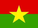 Burkina Faso
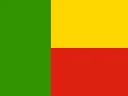 Benin
Benin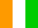 Côte d'Ivoire
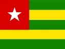 Togo
Togo